This morning, I finally bid adieu to Gretchen and Tom. They very kindly towed me the extra mile or two across Cass Lake to the Knutson Dam. There, a campsite manager greeted us and pulled my boat across the portage road (nice and flat) to the put-in. I’ll take the help when it shows up! I pulled away and realized the dam was open after the storm yesterday, and I could have gone right through.
Less than a mile away I saw a bald eagle. I saw a few more later in the day as well. The first white pelican I saw was just before Bemidji, but it was so slender, I really thought it was fake—like an on-the-water wind vane or something. But I’ve seen a few since, and a bunch on Lake Winnibigoshish this evening.
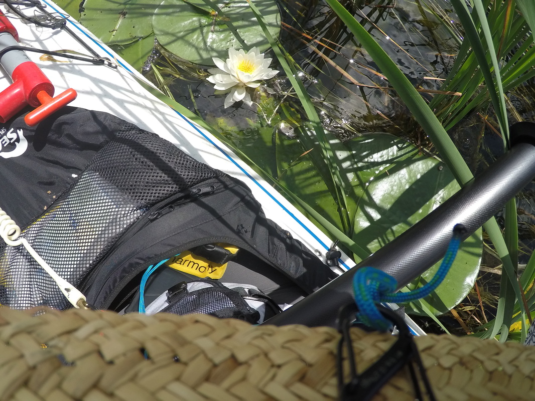
I was really enjoying this part of the river: it’s deeper than it has been and the water was glass flat so it provided an interesting vertigo feeling as I glided atop the surface, looking down into the gravel and shells and sand and plants way below the surface. I saw more fish today than I’ve seen elsewhere, and I started seeing white waterlilies too.
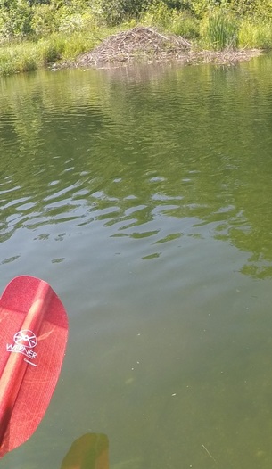 The river's finally wide enough that beaver dams are made along the side and not across the river.
 I had a phone meeting at noon with Alex from Adventurers and Scientists for Conservation, and it was pretty awesome to have a “work meeting” in the marsh, on a boat, surrounded by sunshine and reflections of puffy white clouds. Not bad at all.
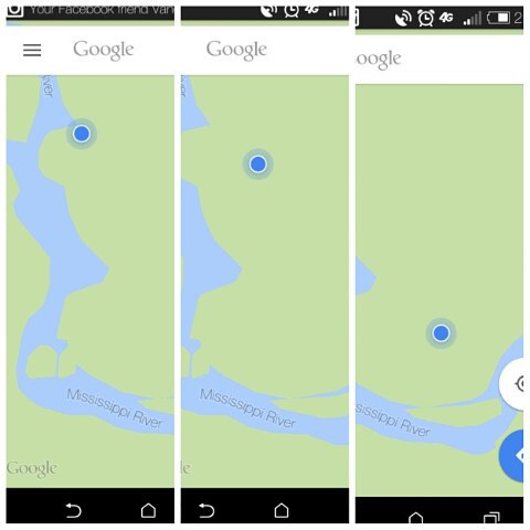
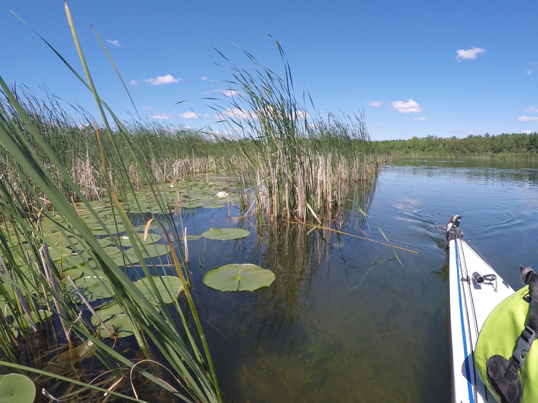
At one point, the river opened wide, and became a maze of marsh islands. I followed the wild rice flow, and was trying to follow the map, but somehow I came upon a dead end. I retraced my steps, paddling against the current, looking for the opening in the river that must be somewhere. I circled a few marsh islands, and then remembered I could try using Google Maps. Incredibly, Google Maps does show the marsh islands! So I was able to confirm that I was going in the correct direction. But then it lead me straight back to the dead end again. I explored the nooks and crannies of the cattails, but thought for sure there was no way that going through the cattails could possibly be the actual path. What about all the big power boats? They wouldn’t be able to make it through the cattails! An hour in to my being lost, I was beginning to feel like Sarah in Labyrinth when she can’t seem to advance in the maze and gets frustrated. I sat in the reeds and munched on snacks while I thought about what to do. I messaged Dave Roberts and Dave Forbes, two paddlers that are a few weeks ahead of me. DR said he had also gotten lost there and suggested I read his blog post. I fiddled around til I found the blog post, but it basically just said he kept trying til he got it right. So I decided Google Maps was probably wrong, and that I’d have to go THROUGH some marsh islands somewhere. I backtracked a bit more and followed the wild rice straight and to the left instead of going right (toward the dead end). Sure enough, I had to paddle through a “meadow” of wild rice and lily pads. In fact, I read on my map later that the area is called “the Mississippi Meadows”.
I am already sore again, despite starting the day fresh with 3 days rest. I wonder if this will quell after ~3 wks (the usual amount of time it takes the body to get used to something), or if it’s just going to be a slog the whole way?
When I arrived at camp, I was dismayed to see quite a bit of trash at the site. Too much for me to pull out this time (literally a pile of many garbage bags, discarded fuel canisters, UGH).
Determined to have a hot meal, I finagled the sterno can so it sat under my whisperlite (only way I could get the pot off the sterno pot enough to keep the flame from going out). That worked, but the water in the pot never boiled. I got it warm though, and enjoyed a tortellini soup mix that Chris and Phil had given me. This site is in the woods, so I unfortunately didn’t have much sunlight with which to recharge my phone or my computer.
I’m going to try to get up really early tomorrow morning so I can cross Winnibigoshish when the wind is low, and try to make the next campsite afterward. It’ll be a long day, but if I want to make the Gulf by October, I have got to start making some headway!
 RSS Feed
